Precision surveying solutions for all your needs.
"Geotract has consistently delivered accurate and timely surveying services that exceed expectations"
Samuel Mwangi / Property Developer
About Geotract
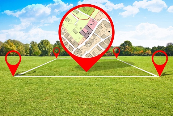
We deliver precision mapping services across Kenya
Welcome to Geotract Land Surveyors, a premier surveying firm with years of excellence in land surveying and mapping services.
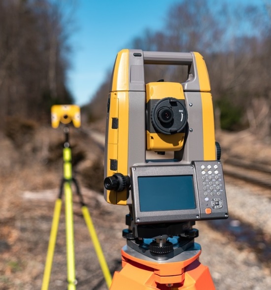
With state-of-the-art surveying equipment and certified professionals, we specialize in boundary surveys, topographical mapping, GIS services, and title transfers. Our commitment to accuracy and timely delivery has made us a trusted partner for property developers, government agencies, and private landowners.
To provide accurate, reliable, and professional land surveying services that support sustainable development and property security across Kenya. We are committed to delivering precise measurements and comprehensive mapping solutions that meet the highest industry standards.
To be the leading land surveying firm in East Africa, recognized for innovation, precision, and exceptional client service. We envision a future where accurate land documentation and mapping contribute to transparent property ownership and sustainable urban development.

Services
Precise surveying solutions
Professional land surveying services with cutting-edge technology and expertise.
Start your next surveying project

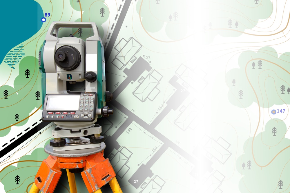
Boundary Surveying
Precise property boundary determination using advanced GPS and total station technology

Engineering Survey
Comprehensive construction layout and as-built surveys for infrastructure projects

Transfer of Titles
Professional assistance with property title transfers and documentation
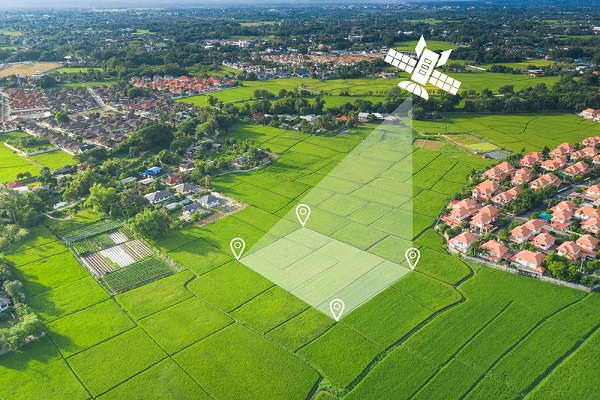
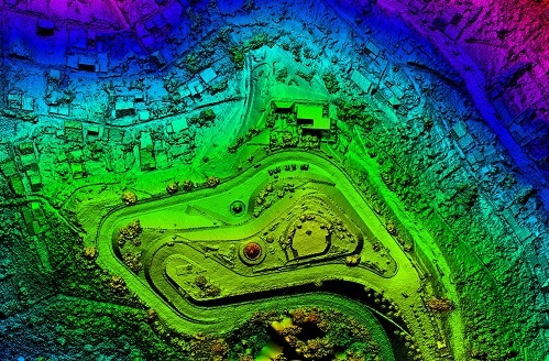
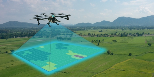
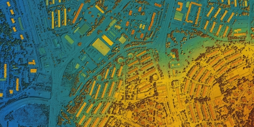
Topographical Mapping
Detailed topographical surveys for construction and development planning
Sectional Property Survey
Specialized surveys for sectional title developments and property schemes
00
+
Projects Completed
00
%
Accuracy Rate
00
+
Years Experience
00
+
Licensed Surveyors
Industries We Serve
Specialized surveying across diverse sectors


Work Process
How we deliver precision surveying
01
Site Assessment and Planning
Comprehensive site evaluation and project planning to determine optimal surveying approach and methodology.
02
Precise measurement and data collection using state-of-the-art GPS, total stations, and laser scanning equipment.
Field Data Collection
03
Data Processing and Analysis
Advanced computational analysis and processing of collected data using professional surveying software.
04
Professional survey reports, maps, and documentation delivered according to industry standards and regulations.
Report Generation and Delivery
Request a Survey Quote
Get professional surveying services tailored to your project needs
FAQ's
Frequently Asked Questions
We provide comprehensive surveying services including boundary surveys, engineering surveys, title surveys, transfer of titles, GIS and mapping, topographical mapping, and sectional property surveys. Each service is tailored to meet specific project requirements and regulatory standards.
Survey completion time varies depending on the type and complexity of the project. A standard boundary survey typically takes 1-3 days for fieldwork and 3-5 days for report preparation. Larger projects may require more time, and we provide detailed timelines during project consultation.
Yes, all our surveyors are fully licensed and certified by the relevant professional bodies in Kenya. We maintain continuous professional development to ensure our team stays current with industry standards, regulations, and technological advances.
We utilize state-of-the-art surveying equipment including GPS systems, total stations, laser scanners, and drone technology. Our GIS capabilities include advanced mapping software and digital data processing systems to ensure maximum accuracy and efficiency.
Reviews
Client Testimonials

Exceptional Service
Geotract provided outstanding boundary surveying for our residential development. Their precision and professionalism exceeded our expectations. Highly recommended for any surveying needs.
James Mwangi
Property Developer
Professional Excellence
Outstanding topographical mapping services for our infrastructure project. The team's expertise and use of modern technology delivered results that exceeded industry standards.
Sarah Kimani
Engineering Consultant
Reliable Partnership
Geotract has been our trusted surveying partner for multiple projects. Their accuracy, timely delivery, and competitive pricing make them our first choice for all surveying needs.
Peter Ochieng
Construction Manager
News & Updates
Latest insights from surveying industry