Advanced GIS and Digital Mapping Solutions
At Geotract Land Surveyors, we provide comprehensive Geographic Information Systems and digital mapping solutions, transforming spatial data into actionable insights for informed decision-making across various industries and applications.
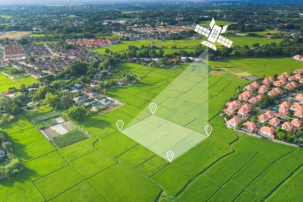
Our GIS and mapping services combine cutting-edge technology with expert analysis to create detailed digital maps, spatial databases, and interactive mapping applications. We specialize in data collection, processing, and visualization using advanced GIS software and remote sensing techniques. Our comprehensive approach helps organizations manage spatial information effectively, supporting planning decisions, resource management, and strategic development through accurate geographic analysis and custom mapping solutions.
- Digital Map Creation
- Spatial Database Development
- Remote Sensing Analysis
- Interactive Web Mapping
- Land Use Planning Maps
- Geographic Data Analysis
Our experienced GIS specialists utilize industry-leading software and satellite imagery to deliver precise mapping products that meet international standards. We provide customized solutions for government agencies, private developers, and research institutions requiring accurate spatial information for project planning, environmental monitoring, and resource allocation decisions.
Frequently Asked Questions
Our GIS and mapping services address complex spatial challenges with innovative technology solutions. We provide expert guidance to help you understand how geographic information systems can enhance your project outcomes and operational efficiency.