Title Survey Services
At Geotract Land Surveyors, we provide precise title surveys for legal documentation and property registration, ensuring accurate land measurement and boundary definition that meets statutory requirements for title deed issuance and property transactions.
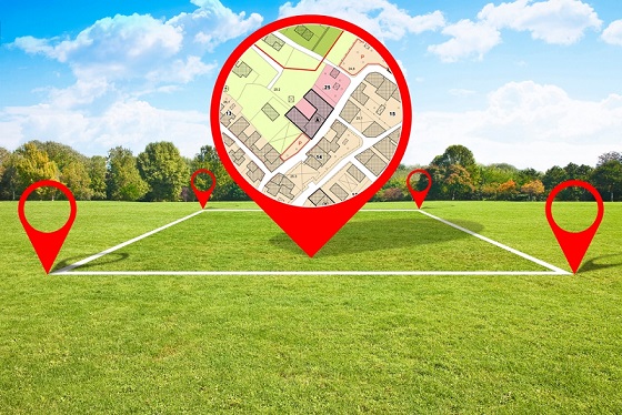
Our title survey services deliver comprehensive land measurement and documentation required for property title registration and legal ownership establishment. We specialize in creating detailed survey plans that accurately define property boundaries, calculate land areas, and identify all physical features according to Kenya's land registration requirements. Our meticulous approach ensures that property owners receive legally compliant documentation that supports secure property ownership and facilitates smooth property transactions.
- Land Measurement Services
- Boundary Documentation
- Legal Survey Plans
- Area Calculation Reports
- Title Registration Support
- Coordinate System Compliance
Our licensed surveyors utilize advanced GPS technology and precision instruments to conduct thorough field measurements and prepare detailed survey reports that meet government standards. We provide comprehensive documentation that supports title deed applications, property transfers, and legal proceedings with accurate surveying data and professional certification.
Frequently Asked Questions
Our title survey services provide essential documentation for property ownership and legal transactions. We address common concerns about title survey requirements with professional expertise and regulatory compliance knowledge for successful property registration.